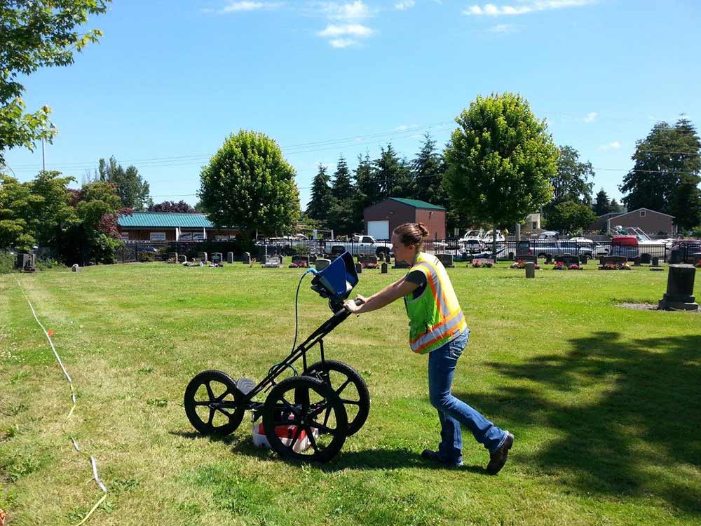
Penhall Technologies typically specializes in concrete scanning and utility locating using ground penetrating radar (GPR) to locate rebar, post tension cables, conduit, and utility lines in both concrete and soils. Analyst Mariah Ottersen put her expertise to the test on a new project – cemetery mapping and exploration in Auburn, Washington.
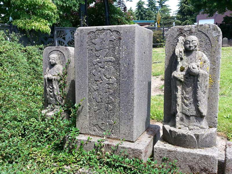
Patricia Cosgrove of the White River Valley Museum contacted us hoping that we could locate existing gravesites at the 156 year old Japanese-American/Buddhist Cemetery. The museum’s goal was to both accurately record the number of existing interments without corresponding headstones. Also, to identify vacant areas of the cemetery to allow for future burials of families.
Weather and soil conditions can dictate the success of a GPR survey. Dry sandy soils with little salt content yield excellent results with GPR. Heavy, wet soils make it more difficult to get clear GPR readings when collecting the data. In a state like Washington, where rainfall is high, much of the soil is heavy and wet.
Eight days after the originally scheduled start date, the clouds cleared and there was sunshine in the Northwest. Ottersen arrived at the cemetery to execute phase one of two of the cemetery mapping project. 4Culture, a cultural services agency for King County, funded the three day project through a grant from King County Appropriation. Originally, we expected the project to take three days, but our analyst completed it in just two days.
Our analyst spent day one at the Auburn Cemetery collecting data. The analyst must collect data for these types of projects carefully. In other words, she must pass the equipment in a linear motion and at equal length.
“We wanted to determine the difference between the 130 year old burials and soil disturbances, and the buried glacial/river erratic and root systems from the large vegetation onsite.” explained Ottersen. According to GSSI, GPR can detect the presence of a body, but it usually identifies disturbances in the soil such as those created when a grave is dug and refilled. It was the identification of soil disturbances that led Ottersen to map where bodies were and weren’t.
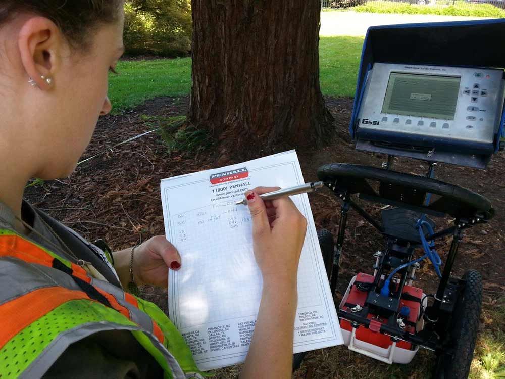
For day two, she analyzed each file of collected data using GSSI Radar software. Then, she created the final maps and reports for the museum.
Upon completion of the data processing, Ottersen shared her results. She successfully mapped the locations of existing graves. Moreover, she identified potential areas for future burials.
It is important to note that decomposition and shifting during flooding events can skew the collected data. “Understanding that this cemetery was also part of the flood plan for many years can raise the question of the likelihood of any of the remains being left behind in their original state due to decomposition of the wooden caskets.” Ottersen concluded.
The Auburn Cemetery can now confidently share the location of vacant land with family members. Penhall Technologies is thrilled to have had the opportunity to be a part of such a historical landmark and the plans for future use.
To find out more about scheduling your project with Penhall Technologies, visit:
https://www.penhall.com/utility-locating/
To read more about the White River Valley Museum’s work at Auburn Pioneer Cemetery, click here: www.wrvmuseum.org
To learn more about 4Culture and the cause they stand for: http://www.4culture.org/
To discover more about GSSI and other GPR facts: http://www.geophysical.com/

