At a Glance
- A construction site risk assessment is a documented review of the hazards on a site, structural, subsurface, utility, and environmental, done before work starts, not a mental walkthrough.
- Before demolition specifically, OSHA requires a written engineering survey of the structure. A verbal check by the super doesn't satisfy that requirement.
- Subsurface conflicts, old tanks, forgotten foundations, fill nobody documented, are one of the most common gaps between what the assessment assumed and what the excavator actually hits.
- Structural interdependencies with adjacent buildings, shared walls, connected footings, get missed when the assessment only looks at the structure coming down.
- 811 only marks public utilities to the meter or property line. Everything on private property past that point needs its own locate before demolition starts.
A construction site risk assessment is a documented review of the hazards on a site: structural stability, what's buried underground, live utilities, and hazardous materials, done before any equipment mobilizes. A safety meeting covers what the crew already knows going in. This assessment exists to catch what nobody on site knows yet, tracked down and written up before the first cut, core, or swing of a wrecking ball.
For large-scale commercial demolition, that assessment carries more weight than it does on a typical build. You're not just protecting a crew working inside a known structure. You're taking a building apart without knowing, until someone checks, what's inside its walls, what's tied into the building next door, or what's sitting in the ground underneath it from a use that predates anyone currently on the project.
What a Construction Site Risk Assessment Actually Covers
Some project teams call this a construction risk assessment. Others file it under construction project risk assessment as part of the broader planning package. The name changes by company and by region. The content doesn't. A real assessment touches four categories: the physical condition of the structure itself, what's underground, what utilities are live on site, and whether any hazardous materials are present. On a demolition project, the first of those isn't optional paperwork. OSHA's preparatory operations standard requires a written engineering survey of the structure, conducted by a competent person, before demolition begins, specifically to check the condition of framing, floors, and walls so the building doesn't collapse prematurely once crews start removing pieces of it. A verbal walkthrough doesn't meet that bar. The standard calls for documented evidence, and it's one of the most frequently cited gaps in demolition preparatory work.
The site visit that generates a construction site visit risk assessment is usually where this starts, walking the structure and the surrounding property with the demolition plan in hand, flagging anything that doesn't match the drawings. What that visit can't catch on its own is anything hidden below grade or inside a wall, which is why the walkthrough is the start of the assessment, not the whole thing.
Why Pre-Demolition Risk Assessment Gets Treated as a Formality
On a lot of projects, the risk assessment gets compressed into a form filled out the week before mobilization, based on record drawings that may be decades old and a walkthrough that only covers what's visible from the ground. That's how a project ends up finding an underground storage tank with an excavator instead of a scan, or finding out mid-demolition that the wall coming down was also holding up the building next door.
The teams that get this right treat the assessment as a sequence, structural survey, subsurface scan, utility locate, hazardous materials check, each documented before the next phase of planning locks in, rather than a single form somebody signs off on the day before crews show up.
Subsurface Conflicts: What Gets Missed Underground
Record drawings show what someone built on purpose and bothered to document. They don't show the underground storage tank that got abandoned in place forty years ago, the old foundation from a building that was demolished and built over, or the fill material dumped into a low spot before anyone thought to write it down. On an older commercial or industrial parcel, that gap between the drawings and what's actually there is often significant.
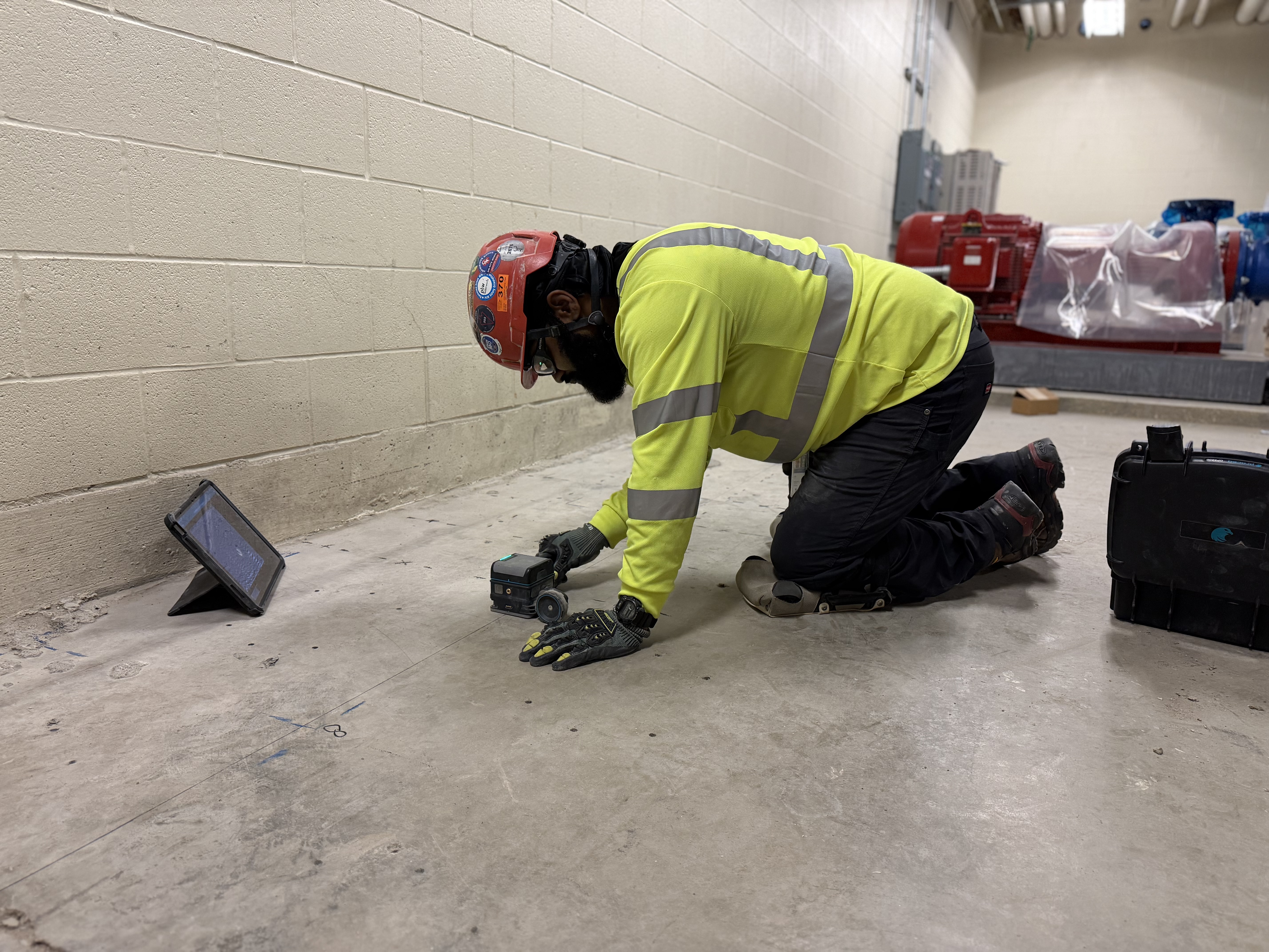
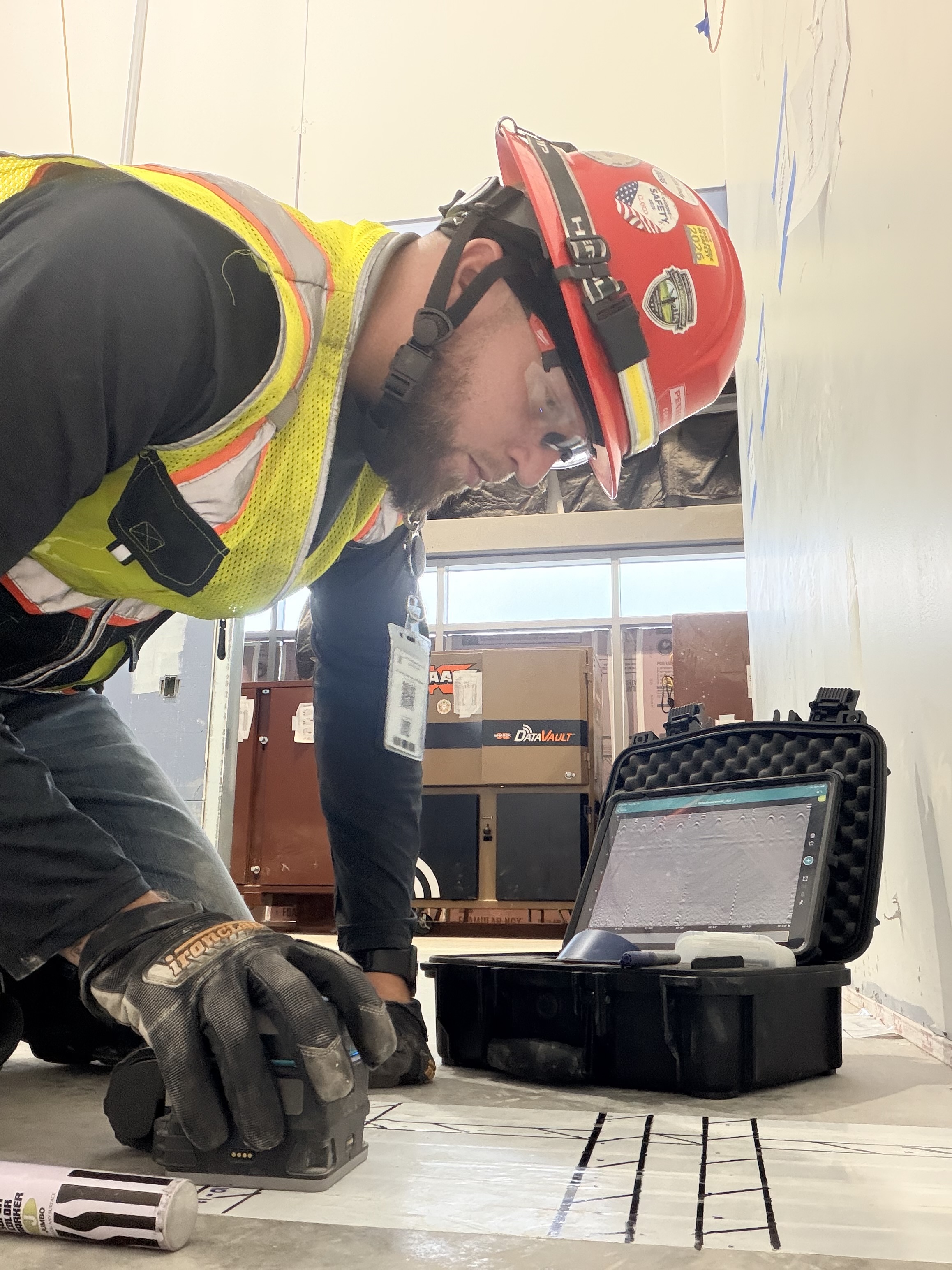
A GPR scan of the site before demolition starts, not just before a specific cut, identifies voids, buried tanks, old foundations, and utility lines that aren't on any drawing anyone has access to. Running that scan during the assessment phase, instead of after equipment hits something unexpected, is the difference between a planned removal and a stop-work order.
Structural Interdependencies Between Adjacent Buildings
A shared party wall, a footing that extends under the property line, a connected slab between two buildings that were built at different times by different owners, all of these turn a straightforward demolition into a structural engineering problem the moment the assessment doesn't catch them. OSHA's engineering survey requirement extends to adjacent structures when there's reason to believe the building coming down shares load path or support with what's staying up, and that determination has to happen before demolition starts, not after a crack shows up in the neighboring wall.
This is where the assessment has to look past the property line. A structure survey that only evaluates the building being demolished, without checking what it's physically connected to, is looking at half the problem.
Utility Coordination Gaps: Where 811 Stops and Private Locating Starts
Calling 811 is a mandatory first step, and it's also a limited one. The 811 system marks publicly owned utilities from the street to the meter or point of connection. Past that point, on private property, is a blind spot 811 was never designed to cover, and one widely cited industry estimate puts the share of buried infrastructure that falls into that gap at well over half of what's actually in the ground.
For a demolition site, that gap includes exactly the kind of lines a risk assessment needs to know about: private electrical feeds between buildings, abandoned gas lines, irrigation systems, communication cable that was never added to a public record. Private utility locating closes that gap using GPR and electromagnetic detection to map what's actually buried on the property itself, not just what the utility company knows about at the curb.
Building the Assessment Into the Pre-Mobilization Schedule
The order matters. Scanning for subsurface conflicts and locating private utilities before the structural survey is finalized means the survey can account for anything unusual the scan turns up. Finalizing the survey and the adjacent-structure review before hazardous materials testing means any bracing or shoring plan is already accounted for when the hazmat report comes back. Treating these as one sequence instead of four independent checkboxes is what keeps a large-scale commercial demolition project from finding out its risk assessment had a gap in it after the work has already started.