At a Glance
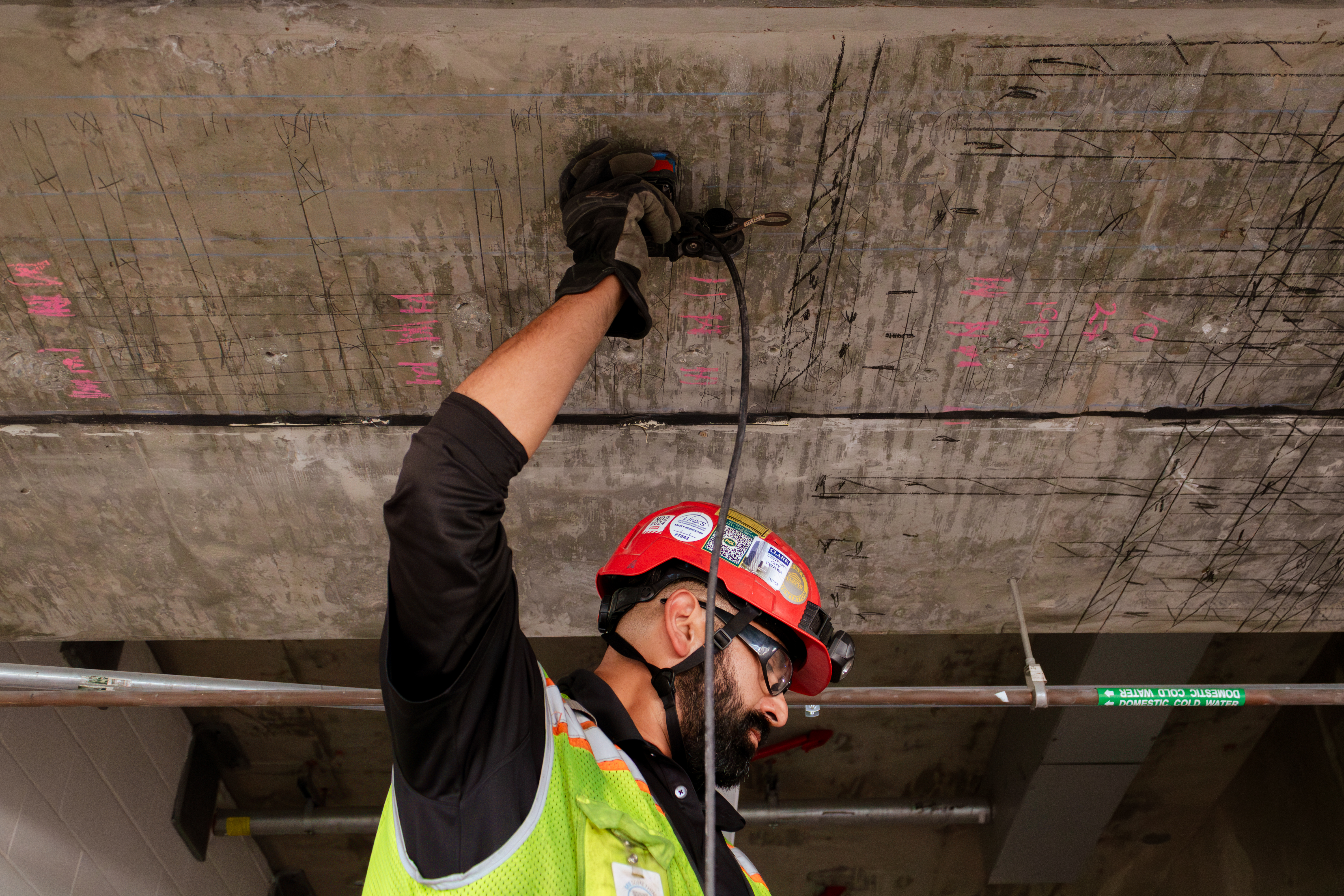
- GPR rebar scanning locates embedded rebar without demolition or core drilling, preserving structural integrity during assessment.
- When original drawings are missing, outdated, or inaccurate, rebar mapping provides a reliable basis for repair and retrofit decisions.
- Rebar depth, spacing, diameter estimates, and cover thickness data all inform corrosion risk evaluation and load capacity analysis.
- Bridges, parking structures, and industrial facilities each present distinct scanning challenges that require field-experienced crews and proper equipment calibration.
- Early identification of reinforcement anomalies -- such as congested zones, misplaced bars, or insufficient cover -- can prevent costly structural failures and project overruns.
- GPR rebar scanning integrates with broader structural assessment workflows, including structural repair planning, concrete rehabilitation, and bridge inspection programs.
The Problem with Aging Infrastructure Documentation
When a structural engineer walks onto a 1960s-era parking deck or a bridge built before computerized documentation became standard, the first question is often the same: where is the rebar, and is it where it should be?
Original construction drawings, when they exist at all, may reflect design intent rather than as-built conditions. Reinforcement placement in older structures frequently deviated from plans due to field adjustments, substitutions, or simple human error during placement. Decades of carbonation, chloride ingress, and repeated load cycles compound the uncertainty. Before any repair scope can be defined, engineers need to know what is actually inside the concrete.
Ground penetrating radar (GPR) rebar scanning answers that question without a jackhammer.
What GPR Rebar Scanning Actually Does
GPR works by emitting high-frequency electromagnetic pulses into a concrete substrate and recording the time it takes for those signals to reflect back from embedded objects and interfaces. Rebar, post-tension cables, voids, and layer boundaries all produce distinct return signatures. The result is a subsurface profile that a trained technician can interpret in real time.
In the context of rebar mapping, GPR rebar scanning produces:
- Rebar location in both plan view and cross-section
- Depth of cover from the surface to the top of each bar
- Bar spacing across a given area
- Estimated bar diameter based on signal amplitude and hyperbola geometry
- Identification of anomalies such as missing bars, crossed layers, congested zones, or significant section loss
Modern GPR systems used for concrete rebar scanning can resolve features at depths of 12 to 18 inches in typical reinforced concrete, with accuracy sufficient to guide core sample placement, anchor installation, and saw-cut operations.
Why Aging Infrastructure Creates Higher Stakes
Newer construction typically comes with complete, accessible documentation. Design drawings, submittals, pour records, and inspection reports are available digitally and provide a starting point for any structural assessment.
Aging infrastructure is a different situation. Consider what engineers routinely encounter:
Missing or incomplete drawings. Structures built before the 1990s may have paper-only records that were lost, damaged, or never archived. In some cases, only partial plans survived -- covering the original footprint but not subsequent additions or modifications.
Undocumented repairs and modifications. A parking structure that underwent deck patching in 1988 may have had rebar added, removed, or relocated without formal documentation. A bridge with a widened deck may have integrated new reinforcement in ways that are not reflected in the original as-builts.
Deterioration that obscures assessment. Spalled concrete, corroded rebar, and carbonated cover layers change the acoustic and electrical properties of the substrate. Scanning rebar in concrete that has experienced significant deterioration requires technicians who understand how signal return patterns shift in compromised material.
Regulatory and liability pressure. Bridge inspection programs, building department audits, and litigation-related assessments all place a premium on documented, defensible data. Visual inspection alone does not satisfy that standard when subsurface reinforcement is in question.
For all of these reasons, GPR rebar scanning has become a standard component of structural due diligence on assets built before modern documentation practices were widespread.
Three Asset Classes Where Rebar Mapping Is Particularly Valuable
Bridges
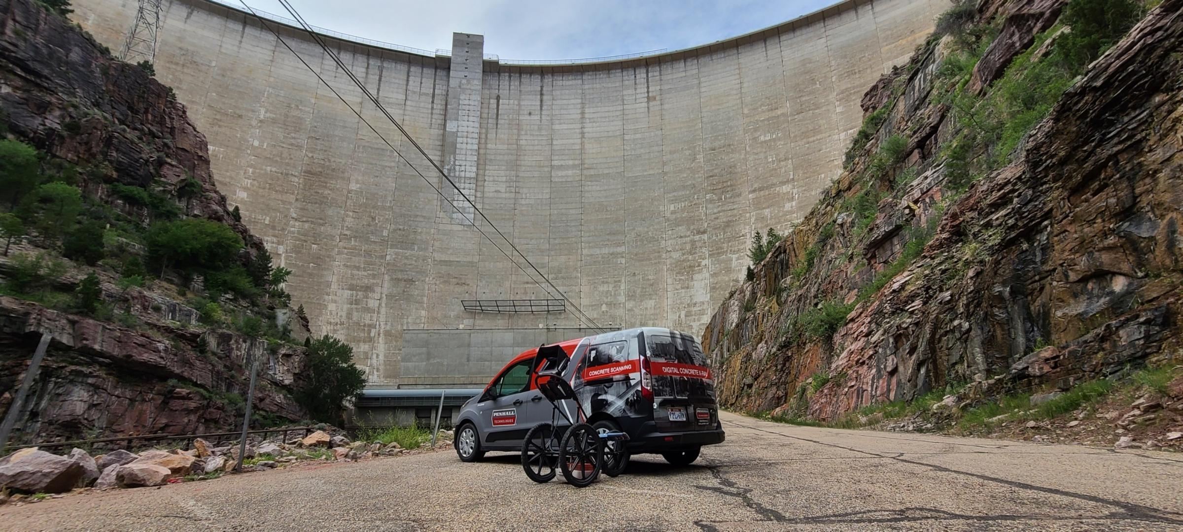
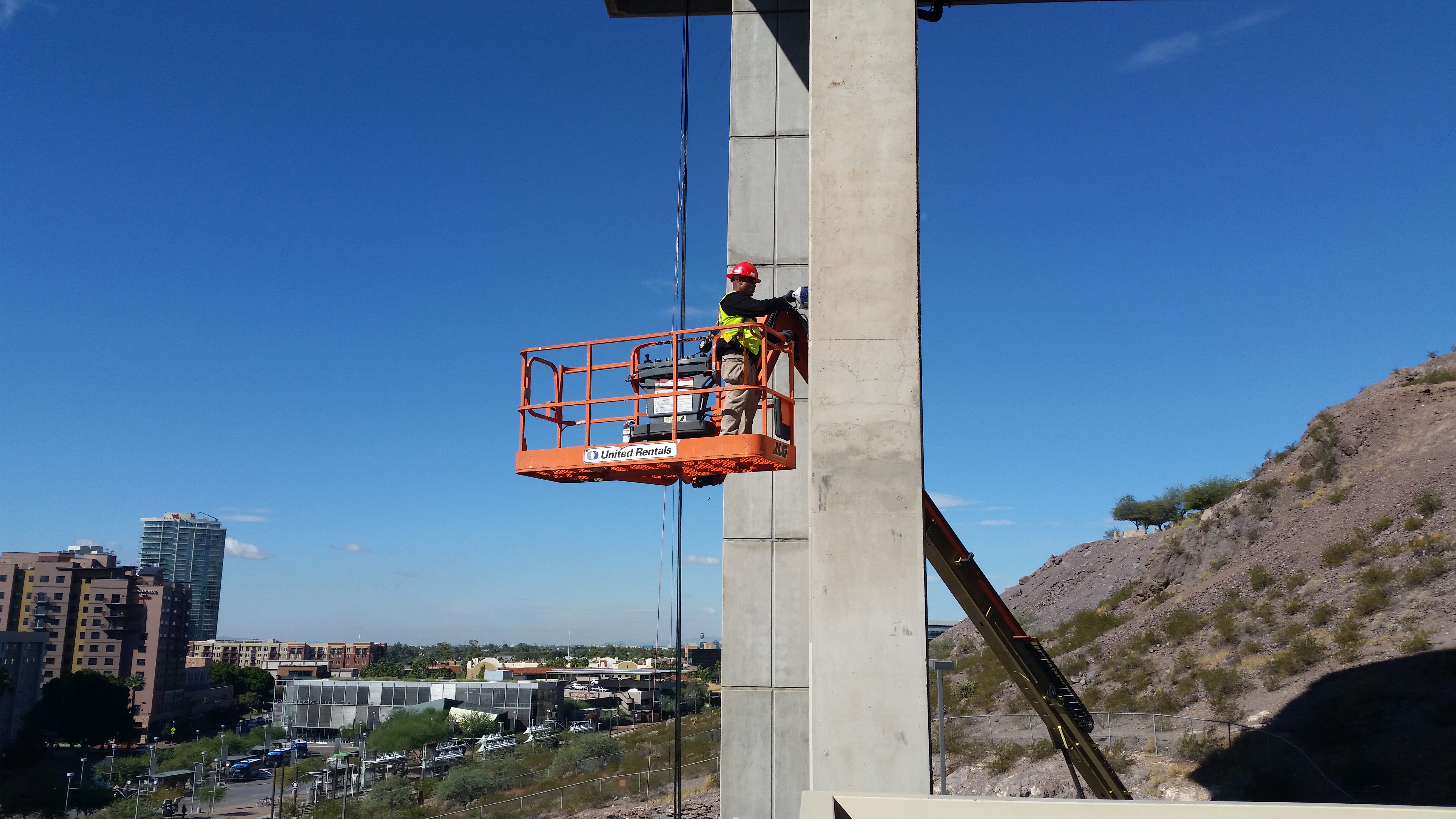
Bridge decks are among the most demanding environments for concrete rebar scanning. Chloride exposure from deicing chemicals is the leading cause of reinforcement corrosion in northern climates, and early corrosion is often invisible at the surface. GPR allows engineers to map cover depth across an entire deck, identifying zones where reduced cover creates higher corrosion risk -- and where patch repairs may have introduced rebar at inconsistent depths.
For bridges undergoing load rating analysis, rebar mapping provides input data for moment capacity calculations. A bar that is one inch deeper than assumed in the original analysis can meaningfully affect the calculated capacity of a member. When original drawings are unavailable or suspect, GPR-derived rebar location data becomes the input for finite element models and rating calculations.
Penhall's Bridge Services capabilities include scanning integrated with bridge inspection and repair scopes, providing engineers with a single source for assessment and execution.
Parking Structures
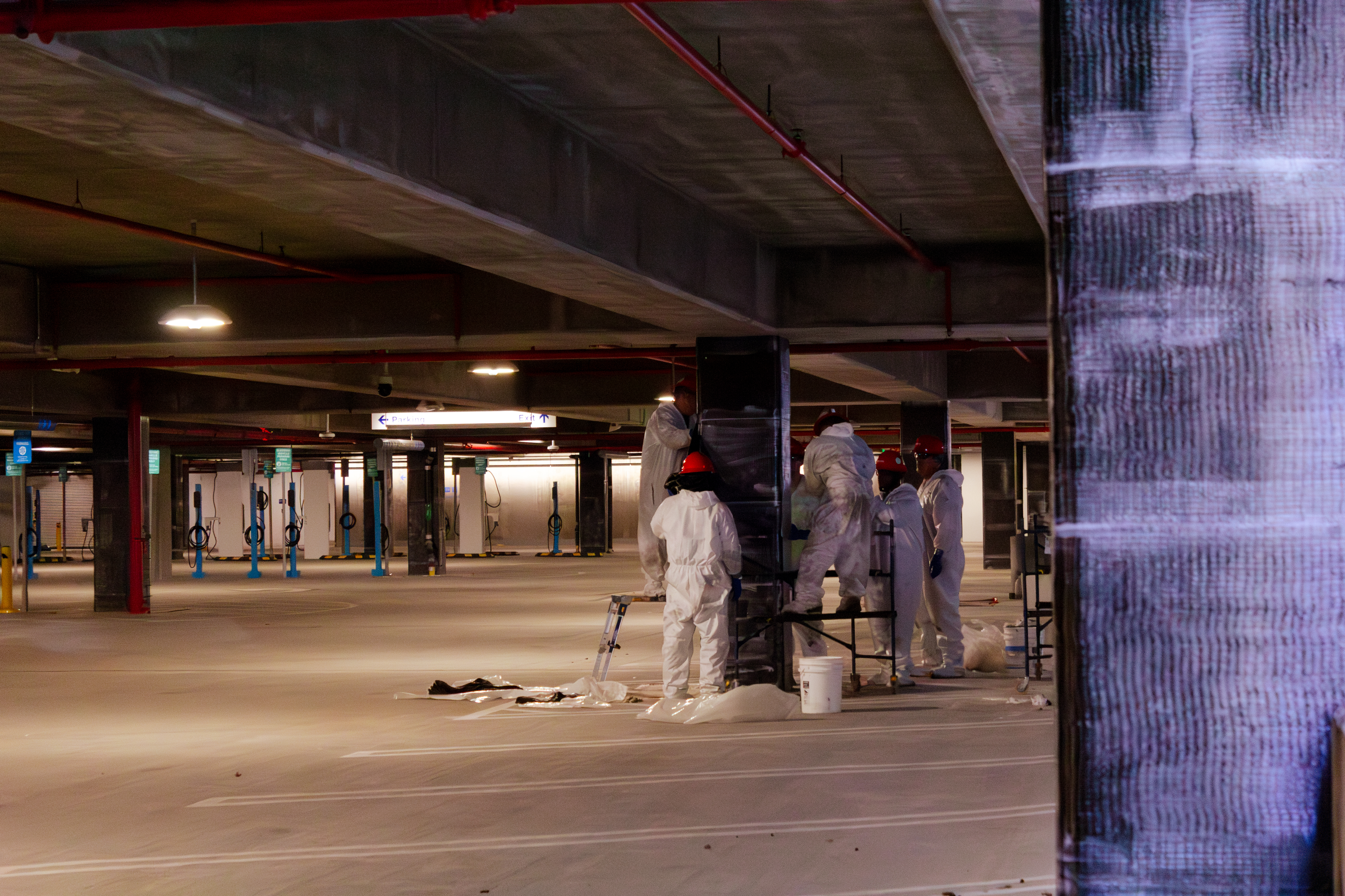
Multi-level parking structures are consistently among the most deterioration-prone concrete assets in urban environments. They combine thin deck slabs, high chloride exposure from vehicle drip, repetitive dynamic loading, and construction methods that, historically, did not always achieve specified cover depths.
Rebar mapping on parking structures is used to:
- Establish baseline cover depth data for corrosion risk zonation
- Confirm reinforcement layout before slab saw-cutting or core drilling during drainage system repairs
- Support repair design by identifying areas of reduced section that may require supplemental reinforcement
- Document existing conditions before ownership transfer or refinancing that triggers structural review
Because parking decks often have post-tensioned components in addition to mild reinforcement, scanning rebar in concrete in these environments requires equipment and operators capable of distinguishing PT tendons from rebar -- a distinction that matters significantly for saw-cut clearance.
Industrial Facilities
Industrial floors, equipment foundations, and elevated slabs present their own set of challenges. These structures are often heavily loaded, have been modified repeatedly, and may contain embedded conduit, anchor systems, and drainage structures that complicate the reinforcement picture.
For structural repair or new penetration work, engineers and contractors need to know not just where the rebar is, but what else is in the slab. GPR concrete rebar scanning at industrial facilities typically occurs alongside utility mapping, so the subsurface model reflects all embedded elements -- not just reinforcement.
How Rebar Mapping Informs Repair and Retrofit Decisions
The output of a GPR rebar scanning engagement is not just a map. When used correctly, it becomes part of a structural decision chain.
Defining repair boundaries. Engineers specifying full-depth deck replacement or partial-depth patching need to know whether the underlying reinforcement is in a location that allows the repair to be executed as designed. Rebar too close to the surface can require modified saw-cut depths; unanticipated bar clustering can require revised joint layouts.
Evaluating corrosion risk by zone. Cover depth data from scanning rebar in concrete, combined with half-cell potential surveys and chloride content testing, allows engineers to produce a risk-stratified deterioration map. This directly supports the prioritization of repair zones and the sequencing of maintenance budgets.
Supporting retrofit design. When structural upgrades require new anchors, adhesive anchors, or mechanical fasteners, GPR rebar scanning confirms clear zones ahead of drilling. For seismic retrofit work on bridges and industrial structures, rebar mapping verifies that existing reinforcement is sufficient to develop the forces required by new connection elements -- or flags where supplemental reinforcement may be needed.
Reducing contractor risk. A repair contractor working from a GPR-verified rebar map can submit more confident unit prices and avoid change orders driven by subsurface surprises. That has direct value to asset owners managing fixed-budget repair programs.
What to Expect from a GPR Rebar Scanning Engagement
A well-executed concrete rebar scanning scope includes:
Pre-field coordination. Any available drawings, repair records, or prior inspection reports should be reviewed before scanning. Even incomplete documentation improves the accuracy of field interpretation.
Equipment selection. Antenna frequency selection affects both depth penetration and resolution. Assessments focused on cover depth and near-surface rebar typically use higher-frequency antennas (900 MHz to 2.6 GHz). Deeper investigations, such as evaluating post-tension tendons or thick foundations, use lower frequencies with wider beam angles.
Systematic grid scanning. Accurate rebar mapping requires overlapping scan lines in orthogonal directions. Skipping lines or relying on spot checks produces incomplete data and is not appropriate for structural assessment applications.
Data processing and reporting. Raw GPR data requires processing to convert two-way travel time to depth and to produce plan-view rebar maps. Reports should include calibration methodology, depth confidence intervals, and any areas where signal quality was compromised by reinforcement congestion or surface conditions.
Integration with the broader assessment. Rebar scanning data is most useful when it feeds directly into the structural engineer's assessment model, repair specification, or drawing set. The scanning provider and the engineer of record should coordinate on deliverable format requirements before the field work begins.
Limitations Engineers Should Understand
GPR rebar scanning is a powerful assessment tool, but it has real limitations that need to be factored into project planning.
Congested reinforcement. When multiple layers of closely spaced rebar are present, signals from deeper bars can be obscured by shallower ones. This is common in bridge girder flanges and heavily reinforced industrial foundations. In these conditions, GPR provides reliable data on the top mat but may not fully resolve lower layers.
Highly conductive concrete. Salt-contaminated concrete and conductive aggregates absorb electromagnetic energy and reduce effective depth penetration. Scanning results in severely deteriorated or chloride-saturated decks should be interpreted with awareness of signal attenuation effects.
Diameter estimation accuracy. GPR provides estimated bar diameters based on signal amplitude. These estimates are useful for preliminary assessment but should be confirmed by core extraction in critical applications.
The scanning is not the engineering. GPR rebar scanning services produce field data. Converting that data into structural conclusions requires a licensed engineer applying appropriate analysis methods. The scan itself does not constitute a structural assessment.
Connecting Rebar Mapping to a Complete Assessment Program
Rebar mapping rarely stands alone. On aging infrastructure, it typically occurs as part of a larger condition assessment that may include:
- Visual inspection and distress mapping
- Delamination surveys by sounding or impact echo
- Half-cell potential and resistivity testing for corrosion activity
- Chloride content sampling at multiple depths
- Core extraction for compressive strength and petrographic analysis
When the full picture is assembled, the structural engineer has a defensible, data-supported basis for repair prioritization, specification development, and cost estimation.
Penhall provides Concrete Scanning, Structural Repair, and Bridge Services as integrated capabilities, which means the assessment data and the repair execution can stay within a single accountable relationship. For asset owners managing aging infrastructure on a defined maintenance budget, that continuity reduces coordination overhead and improves the reliability of scope-to-cost translation.